Sheridan,
Wyoming
Van life OutdoorsField sites Sci., Engineering, & Tech
This 13-day class in Wyoming introduces students to methods & procedures used during geological engineering fieldwork.
13 days travel at
$2,000 plus tuition
G E 301
3 Credit Hours
Instructed by
Dr. Jennifer Gifford
& Dr. Brian Platt
Priority Deadline
March 7, 2025
Travel Overview
Go beyond textbooks and lecture halls. Study USA’s travel courses combine academic learning with hands-on, real world experiences. Every class maximizes its unique location with immersive activities.
You’ll earn academic credit, apply what you’re learning directly to your surroundings, and engage in lively class experiences—all guided by Ole Miss faculty.
What You'll Do
- Travel to Wyoming: Explore the unique geological features of Sheridan, WY.
- Field mapping at Amsden Wildlife Preserve: Learn geologic mapping techniques in a real-world setting.
- Volume estimation at Bald Mountain: Map and estimate geological volumes at the Big Horn Range.
- Stratigraphy measurement: Measure and describe stratigraphy in the field.
What You'll Learn
- Describe and characterize rock units by lithology and field relationships.
- Make a properly-scaled location map in the field using a Brunton compass or other hand-held equipment.
- Measure and describe the stratigraphic succession in an area.
- Represent measured stratigraphy with stratigraphic columns and correlation diagrams.
- Locate yourself on a topographic map while in the field.
- Create a geologic map based on outcrop locations.
- Generate cross-sections representing geologic relationships.
- Communicate results of field investigations in written reports.
All activities are tentative and subject to change depending on scheduling, booking availability, and course adjustments.
Meet Your Instructors
All Study USA courses are designed and led by Ole Miss faculty. Your instructor(s) will be your first point of contact during your travels and lead you through all the class experiences.

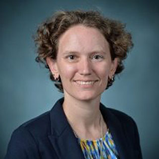
Dr. Jennifer Gifford
Associate Professor
jngiffor@olemiss.edu
Dr. Jennifer Gifford began working as a Visiting Assistant Professor of Geology at St. Lawrence University after earning her PhD from Florida. She transitioned to an assistant professor appointment at the University of Mississippi in the summer of 2015. Classes that Dr. Gifford teaches include Mineralogy and Elementary Petrology, Structural Geology, Global Tectonics, Advanced Igneous and Metamorphic Petrology, and Optical Mineralogy.
Dr. Gifford loves the opportunity to teach at off-campus locations and to be able to provide hands-on learning experiences.
She thinks one of the more important things students can take away from the course is the opportunity to view rocks and outcrops in-person rather than only in photographs — gaining the ability to visualize geology in three dimensions. She feels that being able to get students up close and personal with active geologic areas provides a far better learning experience than pure lectures.
Dr. Gifford is originally from Marlborough, CT and enjoys creating stained glass in her spare time.
“Field work is intrinsic in the geosciences. Learning how to work and succeed in the field will only help geology and geological engineering students in their futures.”
– Dr. Gifford

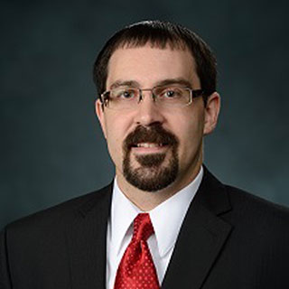
Dr. Brian Platt
Associate Professor
bfplatt@olemiss.edu
Brian Platt is originally from Wayne, New Jersey and earned a B.S. in Geology with a minor in Art Studio from Bloomsburg University in 2001.
After returning to New Jersey to work for an environmental consulting firm, he attended graduate school at the University of Kansas, where he earned an M.S. in Geology in 2005 and a Ph.D. in Geology in 2012. He then worked as a postdoctoral researcher at the Kansas Geological Survey and as an instructor in the University of Kansas Geology Department.
In 2013, he began a tenure-track faculty position in the Geology and Geological Engineering Department at the University of Mississippi. He was granted tenure and promoted to Associate Professor in 2020.
Platt’s research interests include sedimentology, stratigraphy, ichnology, paleopedology, soils, and Mississippi Embayment geology.
“The ability to create stratigraphic columns, correlation diagrams, geologic maps and cross-sections is an important skill for communication via illustration of the field data collected.”
– Dr. Platt